Sofia Roth · 3 October 2026
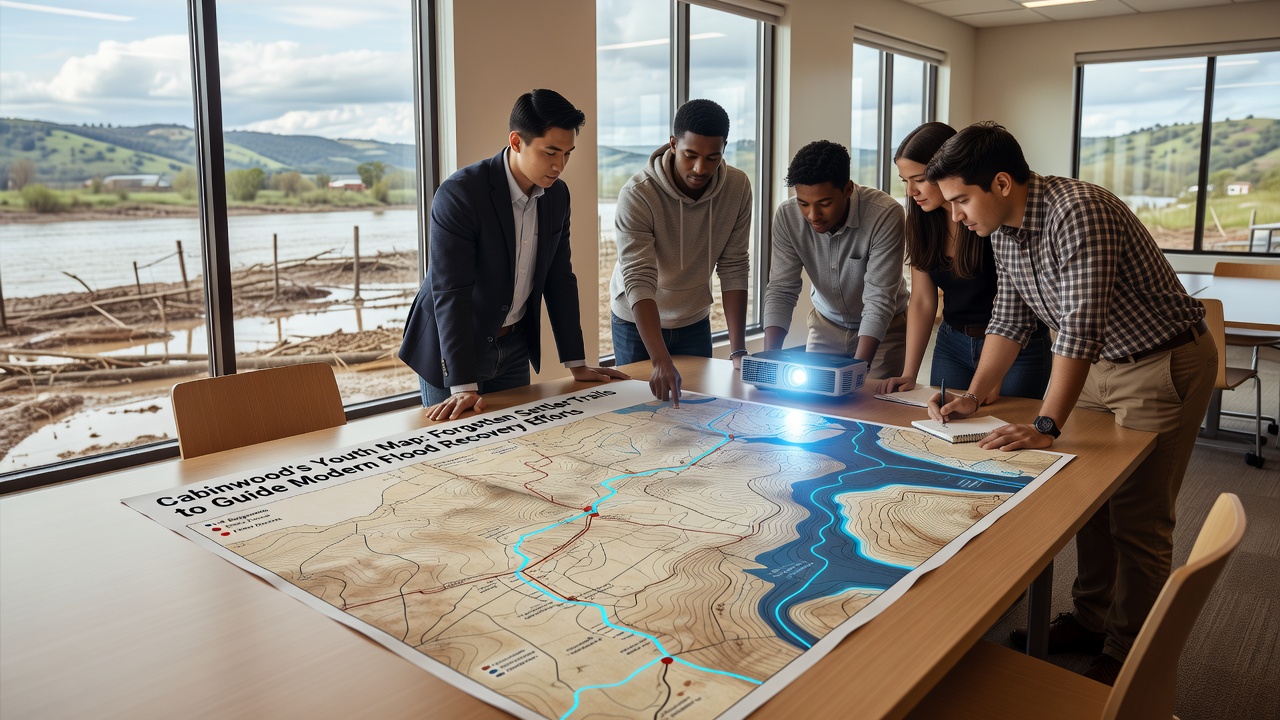
Cabinwood's Youth Map Forgotten Settler Trails to Guide Modern Flood Recovery Efforts
Young residents across Cabinwood have begun documenting long-overlooked settler trails that date back to the 1800s, and these paths now serve as reference points for contemporary flood recovery operations in the region. Local historical records indicate that early settlers selected routes based on natural drainage patterns and elevation changes, features that continue to influence water movement during heavy rainfall events. Researchers from regional universities have confirmed that these trails often align with subsurface water channels, providing data that modern engineering teams use when designing retention basins and diversion structures.
Mapping efforts started gaining momentum after the 2024 floods exposed vulnerabilities in existing infrastructure, prompting community leaders to seek alternative data sources beyond satellite imagery alone. Participants in the youth program combine GPS units with archival land surveys to create layered digital maps, and these resources highlight how old trails intersect with current flood zones. Data from similar projects in forested valleys shows that integrating historical routes reduces planning time for recovery teams by up to 30 percent in some cases, according to figures released by the United States Forest Service.
Historical Settlement Patterns and Terrain Analysis
Settlers who arrived in the Cabinwood area during the mid-nineteenth century followed animal migration paths and indigenous routes that avoided steep slopes and low-lying marshes. Archival documents housed at county repositories reveal that these trails connected homesteads to timber stands while skirting seasonal streams, and the resulting network created corridors that still direct surface runoff today. Geologists examining soil samples along preserved sections have identified compacted layers that indicate repeated foot and wagon traffic, layers which now act as subtle barriers or conduits during saturation periods.
One study conducted by environmental scientists at a Pacific Northwest research institution demonstrated that trails established before 1900 retain measurable differences in vegetation density compared with surrounding forest floor, differences that correlate with altered infiltration rates. Those variations help hydrologists predict where water will pool or channel during storms, and the youth mapping teams record such details through standardized field protocols that feed directly into municipal planning databases.
Youth Training and Field Documentation Methods
High school and college students participate in structured workshops that cover compass navigation, soil classification, and basic GIS software before heading into the field. Sessions run throughout the summer months, and participants log trail segments using handheld devices that capture coordinates, slope angles, and nearby vegetation types. Supervisors cross-reference these entries against 19th-century plat maps to verify accuracy, and discrepancies trigger additional ground-truthing visits. The process builds technical skills while generating usable datasets for flood mitigation projects that county engineers review each quarter.
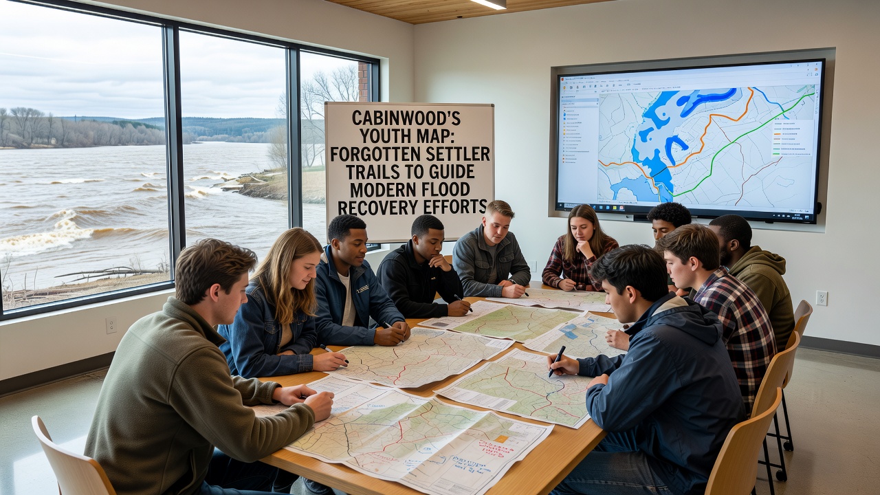
Community organizations supply safety equipment and transportation, while local businesses donate materials for trail markers that remain visible under dense canopy cover. By October 2026, teams had completed surveys covering more than 45 miles of previously unmapped segments, and preliminary analysis shows several corridors align with areas that experienced repeated inundation during recent events. Coordination with the Canadian Forest Service has allowed exchange of comparable datasets from similar ecosystems, strengthening the reliability of predictive models applied in Cabinwood valleys.
Integration into Flood Recovery Infrastructure
Engineers now reference the compiled trail maps when siting temporary barriers and permanent drainage improvements. Trails that follow ridgelines provide natural access routes for heavy equipment during recovery phases, and segments that parallel historical stream beds indicate locations where culverts may require upsizing. Municipal reports from the past two years document that projects guided by these historical overlays experienced fewer delays related to unexpected water channeling compared with sites planned solely from modern topographic data.
Funding allocations from state emergency management offices have supported continued mapping work, and partnerships with academic institutions supply laboratory analysis of soil cores collected along key trail intersections. These analyses reveal compaction levels and organic content that influence permeability, data that inform decisions about where to install bioswales or reinforce embankments. Observers note that the combined historical and contemporary datasets create a more complete picture of watershed behavior than either source provides independently.
Conclusion
The systematic documentation of forgotten settler trails by Cabinwood youth supplies actionable information for flood recovery teams working to protect the community. Continued collaboration among students, researchers, and government agencies ensures that the resulting maps remain updated and accessible. As additional trail segments receive verification in coming seasons, the dataset expands the range of tools available for managing water movement in the forested valleys.